Mind The Gap: Efforts Aim To Stitch Together Gaps In Northwest Trail Networks To Keep Hikers Safe
Listen
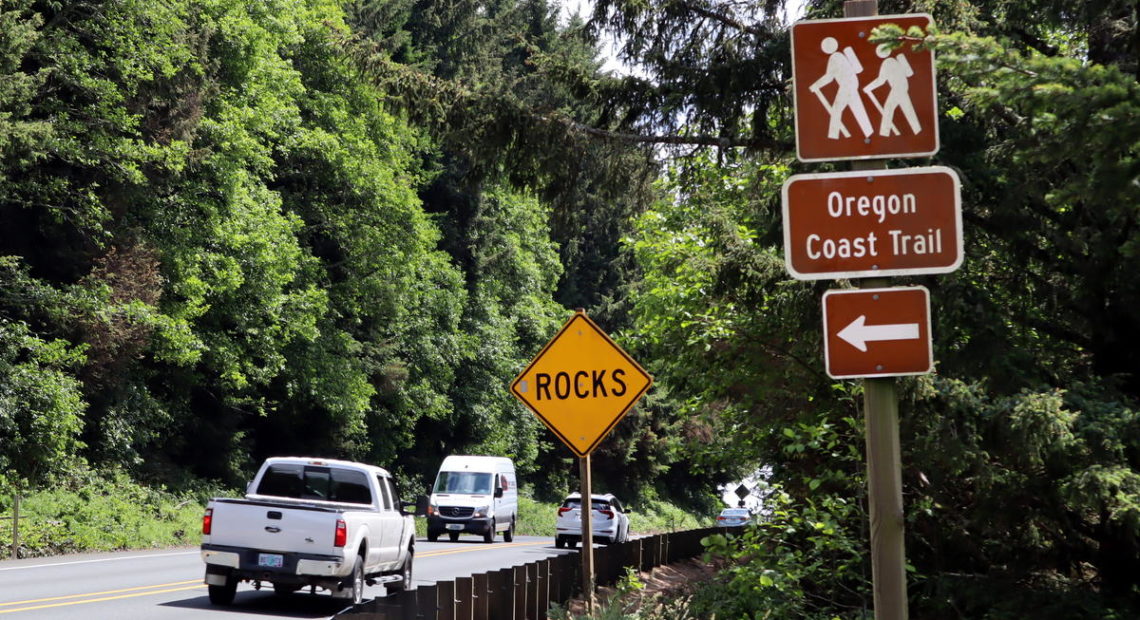
Long-distance hiking can be the experience of a lifetime. It also can present dicey to mundane hurdles, like having to hike stretches along busy highways or logging roads. Trail crews are working this summer to improve some enticing regional routes — that you may or may not have tried — including the Oregon Coast Trail and the east-west Pacific Northwest Trail.
The former stretches nearly 400 miles along Oregon’s beaches, over headlands and on bluff top paths from the Columbia River to the California border. Mike Scott, who’s now the mayor of Manzanita, used to regularly hike a section north of his town with the local hiking club.
“You come off the south end of Neahkahnie Mountain, you find yourself for a couple miles on (Highway) 101 coming down the hill to Manzanita,” Scott said in an interview at City Hall. “It is not much fun. I mean, big trucks going by and so forth. It’s not very safe.”
What Scott described is one of the more dangerous gaps in the Oregon Coast Trail. The various missing pieces total about 40 miles in all, according to Oregon State Parks.
The Pacific Northwest Trail is another long-distance trail — not to be confused with the Pacific Crest Trail. The PNT winds for 1,200 miles from Glacier National Park in Montana across seven mountain ranges to the Olympic National Park coastline. A thru-hike requires bushwhacking and walking long stretches on roads between established trail segments.
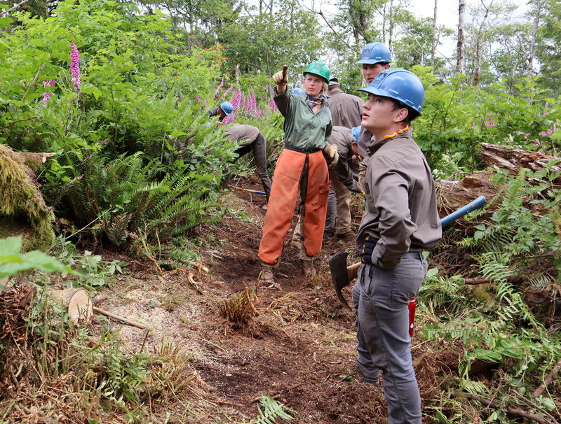
A Northwest Youth Corps trail-building crew at work in June on the south side of Neahkahnie Mountain where there is a gap in the Oregon Coast Trail. CREDIT: TOM BANSE/N3
Pacific Northwest Trail Association executive director Jeff Kish estimated that the trail’s advocates have 300 miles of gaps to tackle. Dangerous sections on this trek include a segment on narrow state Route 20 between Port Townsend and Discovery Bay, and another alongside busy Chuckanut Drive in Skagit County.
Oregon and Washington state are both seeing new pushes to close trail gaps.
On the forested slopes above the town of Manzanita, the clinking of metal tools against soil, the occasional purr of a chain saw and grunts from human exertion signal the bridging of one trail gap.
“For decades actually, we’ve been trying to find a solution to this,” Scott said. “Once they see this thing done, I’m sure everybody is going to be very excited about it.”
The City of Manzanita hired Northwest Youth Corps to build two miles of new trail through brush and forest this summer, to relocate hikers off of the highway shoulder. The actual trail building using mostly hand tools and muscle power is going much faster than the years of planning and fundraising it took to get to this point.
“It’s really cool to see like by the end of the day how far you have to walk back to the car versus in the morning — even throughout the week to see that progress,” said Maddie Milner, the trail crew leader.
Manzanita City Manager Cynthia Alamillo said the short connector trail required a partnership among multiple agencies, including Oregon Department of Transportation, Oregon State Parks, private property owners, the city and a land trust, the Lower Newhalem Community Trust. She said most of the cost is being paid for with a state grant.
Meanwhile in north central Washington, a trail building crew is at work right now relocating a section of the Pacific Northwest Trail off of a logging road in the Tonasket Ranger District. Separately in Western Washington last month, the Jefferson County Commission approved spending a state grant to buy right-of-way and design a safer route for both hikers and bikers away from SR 20. The new trail will run partly through Anderson Lake State Park.
A few years ago, the Oregon Legislature directed Oregon State Parks to make an action plan to complete the full coast trail. Robin Wilcox, senior planner with the Oregon Parks and Recreation Department, is now spearheading that effort. She told public radio that the remaining gaps represent the last 10 percent of the coastal trail.
“Hopefully, we’ll see the completion of the Oregon Coast Trail in the next 15 to 20 years is probably a realistic time frame,” Wilcox said. “If we could get it done in the next 10 years or less, that would be great.”
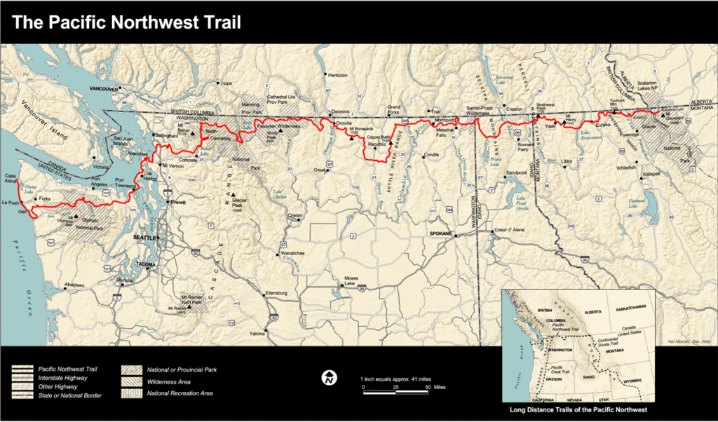
Map of the Pacific Northwest National Scenic trail. CREDIT: NATIONAL PARK SERVICE
It will take even longer to stitch together the bigger gaps in the Pacific Northwest Trail. That’s partly because of the greater distance, but also because of the complicated mix of private and state lands to be crossed, in particular in the north Puget Sound region.
Trail guide author Bonnie Henderson of Eugene just hiked most of the Oregon Coast Trail from top to bottom. She said it’s important to think about gaps, not just in terms of missing pathway, but also in other aspects — such as a lack of legal camping spots or water resupply, signage and so forth.
“In ways, I think the highway gaps are not really as important as the camping gaps — and I could add, lodging gaps,” Henderson said. “You have to have places to sleep at least every 15 miles. That’s not the case for many sections of the Oregon Coast Trail.”
Henderson and Wilcox both said they have noticed increased awareness and usage of the Oregon Coast Trail.
“I probably met myself a dozen thru-hikers at least,” Henderson said by cellphone during a rest day on her monthlong hike in June. “Almost all of them are from overseas — from the UK, from the Netherlands, from Germany, from Ireland. We met a couple from Missouri.”
The Pacific Northwest Trail Association director said pretty pictures and descriptions of life-changing experiences posted on social media are driving some of heightened interest along his northern trekking route.
“The more people see pictures of beautiful places, the more they want to do that too,” Kish said Thursday.
It is difficult to measure the popularity of long-distance trails in the West besides the Pacific Crest Trail, since no permit is required for thru-hikers on the lesser-known routes in the region. However, it’s safe to say there is a gulf between the usage of the Pacific Crest Trail and its younger siblings. Trail improvements could make the lesser-known routes more viable as an alternative to the PCT, which to some eyes risks being loved to death.
Eric Wollborg, communications manager for Pacific Northwest Trail Association, estimated fewer than 300 people have completed a full thru-hike of the crown-to-coast trail since 1977. By comparison, more than 1,000 hikers told the Pacific Crest Trail Association that they successfully completed the 2,650-mile long north-south trail just in the last year.
Henderson said she recently received the green light from Mountaineers Books to write an authoritative guidebook for long-distance hikes on the Oregon Coast Trail. That guide could further boost the profile of the coastal route when it comes out in a couple years.
If these routes ever become too popular for their own good, there are other long-distance trails taking shape. The 750-mile Oregon Desert Trail on the state’s dry side is backed by the Oregon Natural Desert Association. By the group’s own admission, this route remains a rough “work in progress.”
The north-south Idaho Centennial Trail dates back to 1990, but only a few people are known to have walked its 900-mile length. A Humboldt County, California, hiker and educator conceived the 360-mile Bigfoot Trail by stitching together existing trails and some cross-country travel to go from Crescent City to the Siskiyou Mountains, along the Oregon-California border and then down to the Red Bluff vicinity. The nonprofit Bigfoot Trail Alliance, founded in 2015, is now promoting that route and organizing trail maintenance.
Related Stories:
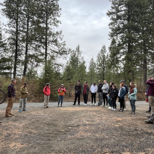
Mountain bike nonprofit cultivates new trails for riders
Volunteers gather for a trail dig on Moscow Mountain. (Credit: Phineas Pope / NWPB) Listen (Runtime 3:32) Read On a cloudy Sunday morning, a large group of volunteers with axes,
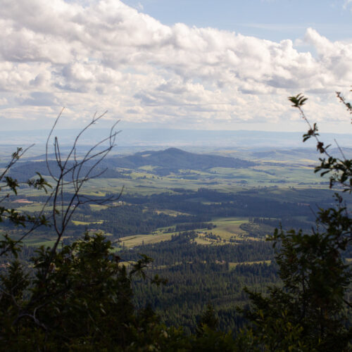
Views from East Moscow Mountain
The northwest is full of recreational opportunities. One of those spots is the East Moscow Mountain trail. NWPB’s Rachel Sun takes us with her during an excursion this summer.

Land trusts are helping with land conservation on the Palouse
The trailhead for Judy’s Trail. It is located in Troy, Idaho. (Credit: Phineas Pope / NWPB) Listen (Runtime 3:45) Read There’s a lot of good ways to start off the

