Coast Guard Helicopter Has ‘Near-Miss’ With Drone Over Port Angeles
Listen
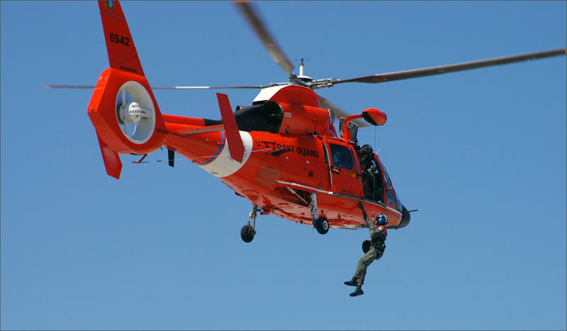
A U.S. Coast Guard helicopter came within 50 feet of colliding with a drone over Port Angeles, Washington, last weekend. The Coast Guard said an air crew was doing low altitude training exercises near Fairchild International Airport when it had to take evasive action.
Lt. Cmdr. Brent Schmadeke said a near miss with a drone has not happened before in the two years he’s been at Air Station Port Angeles.
“With the increasingly popularity of model aircraft and drones for personal use—taking pictures, recordings and what not—I can only see it happening more,” he said.
It’s illegal to fly a drone within five miles of an airport unless the airport authority and control tower give permission. Schmadeke said the errant drone operator in this case could not be located.
Schmadeke said the air crew told him after landing safely that they were flying at 300 to 400 feet when they saw what they thought was a bird.
“It turned out it was not a bird. It was a drone, a quadcopter drone,” Schmadeke said in an interview. “They were close enough for the pilot to be familiar with the model and the make of the drone.”
“They were very concerned,” Schmadeke continued. “They were able to maneuver to avoid the drone.”
Saturday’s near miss involved a Coast Guard MH-65 Dolphin rescue helicopter, the workhorse model for the air stations along the U.S. West Coast.
The Federal Aviation Administration’s voluminous database of dangerous incidents involving unmanned aircraft systems includes one other recent case involving a Coast Guard helicopter. The pilot of an MH-65 Dolphin sighted a small drone at the same altitude of 300 feet while on landing approach in San Diego last July. That Coast Guard pilot did not need to take evasive action.
The San Diego Police Department responded on the ground, but could not locate the drone operator.
The FAA says reports from pilots, citizens and law enforcement about airspace violations by drones have increased dramatically. The agency now fields more than 100 such reports each month.
The FAA and industry partners are promoting the use of a smartphone app called B4UFLY, which gives drone operators “situational awareness” and shows airspace restrictions in the vicinity of the user’s location.
Related Stories:
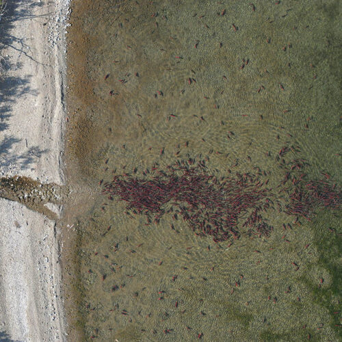
Drones could help researchers count salmon nests
A drone image of salmon during spawning season in Alaska. CREDIT: Daniel Auerbach LISTEN READ Searching for the places where salmon lay eggs, known as redds, is getting a boost
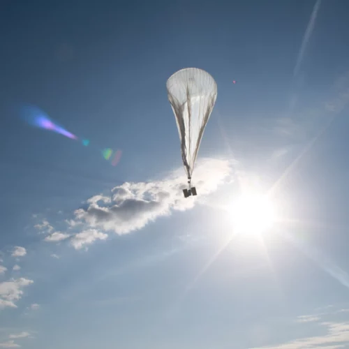
Up, Up And Away. Forest Service Looking At Special Balloons To Monitor Big Wildfires
The U.S. Forest Service is looking at something different — very different — to improve situational awareness at big wildfires: high altitude balloons.
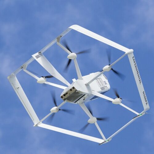
Amazon Drone Deliveries Nearly Ready For Prime Time With Oregon Crashes In Rear-View Mirror
Amazon made news this month by announcing it will start package deliveries by aerial drone to real customers in a northern California town. In the run up to the U.S. debut, the company conducted extensive flight tests in Eastern Oregon, where it experienced a spate of crashes. Amazon said Monday the upcoming rollout of commercial drone delivery signifies the refined technology is safe and no longer experimental.


